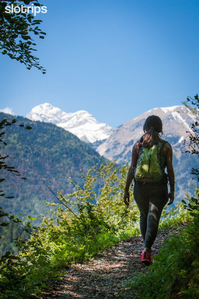
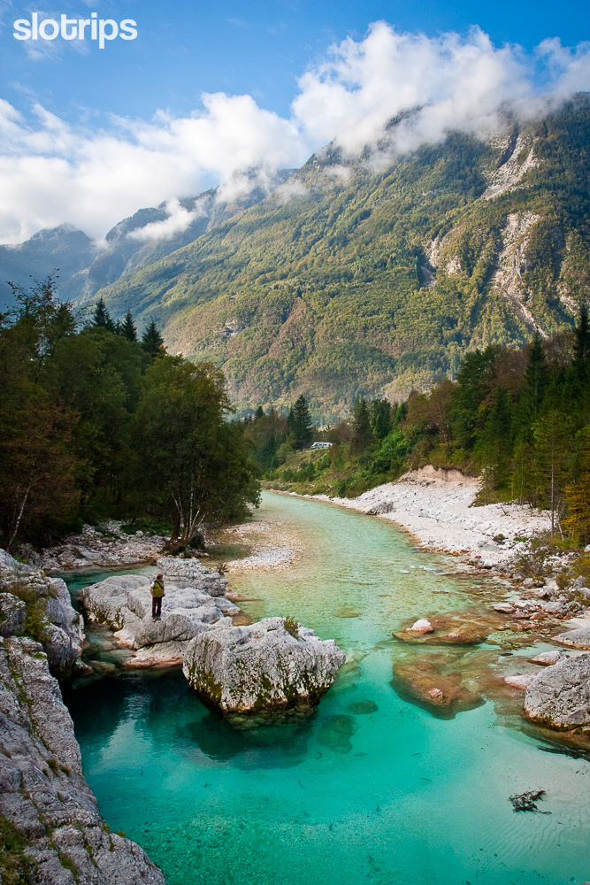
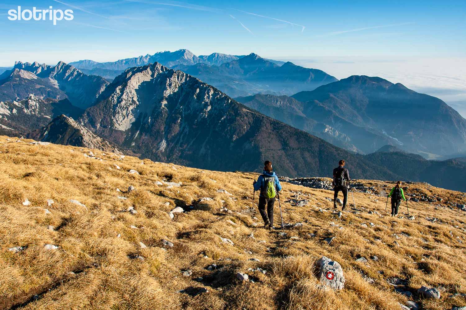
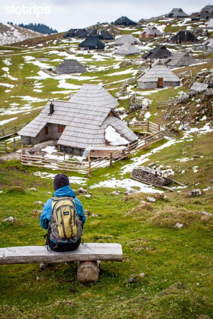
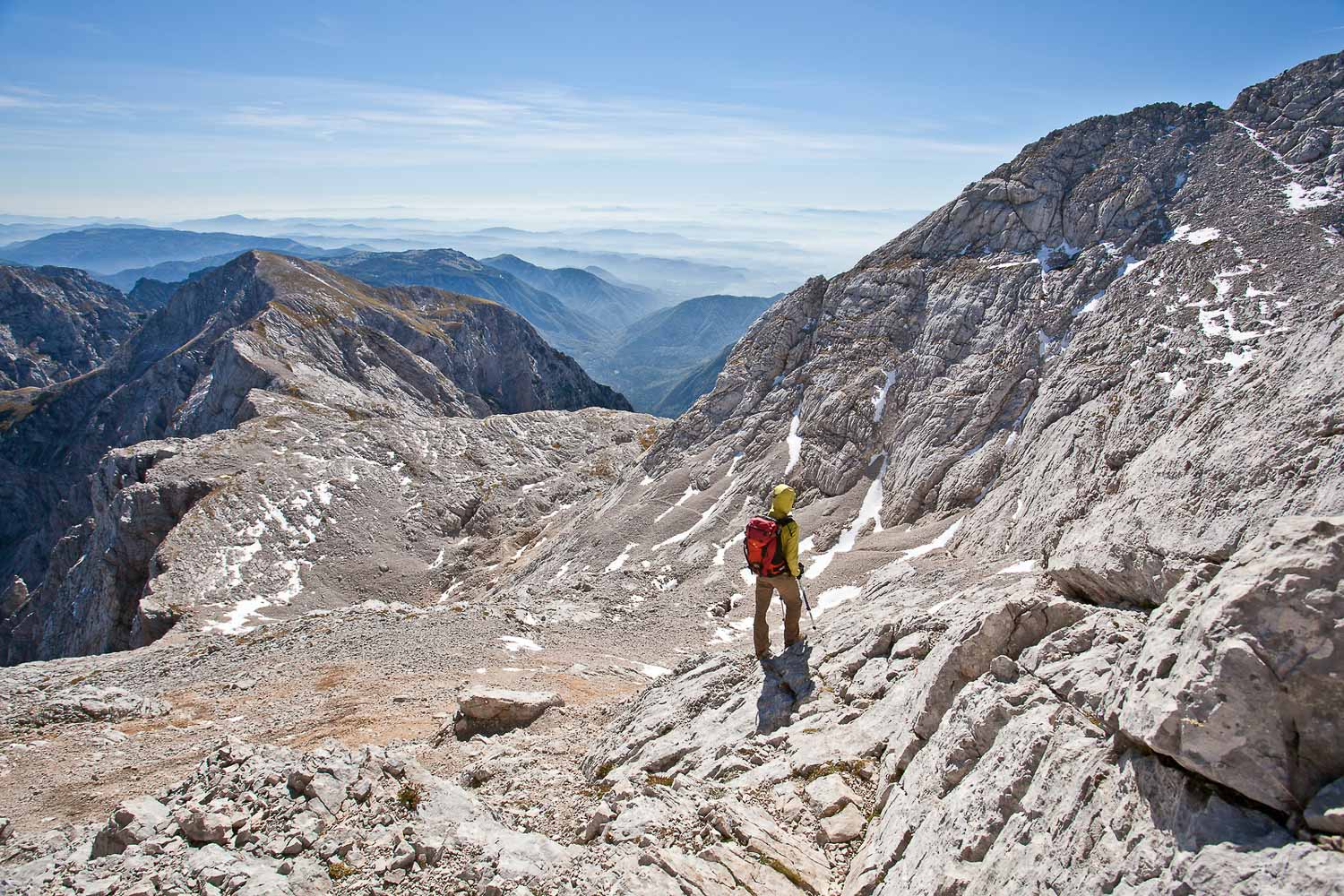
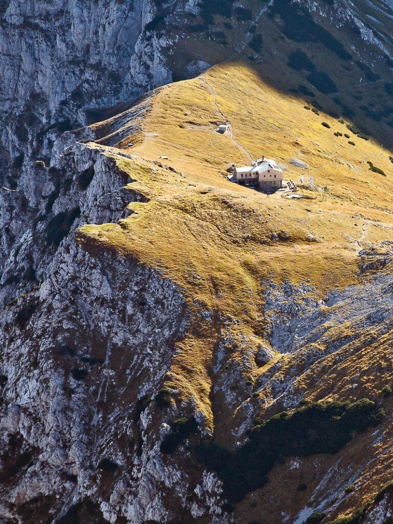
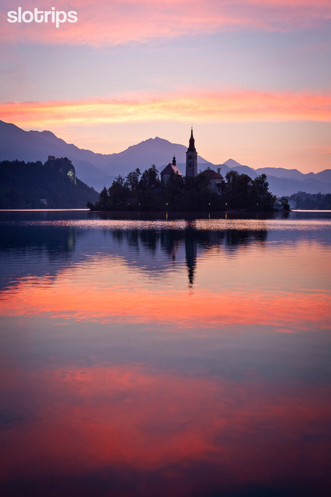
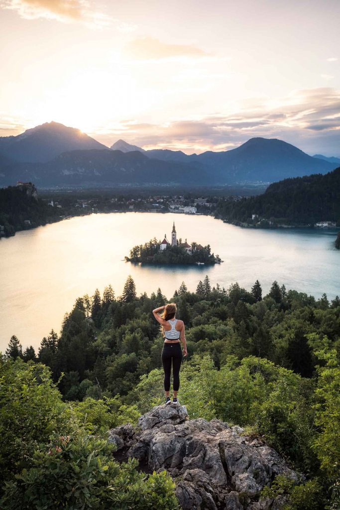
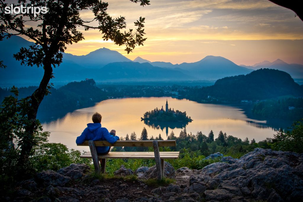
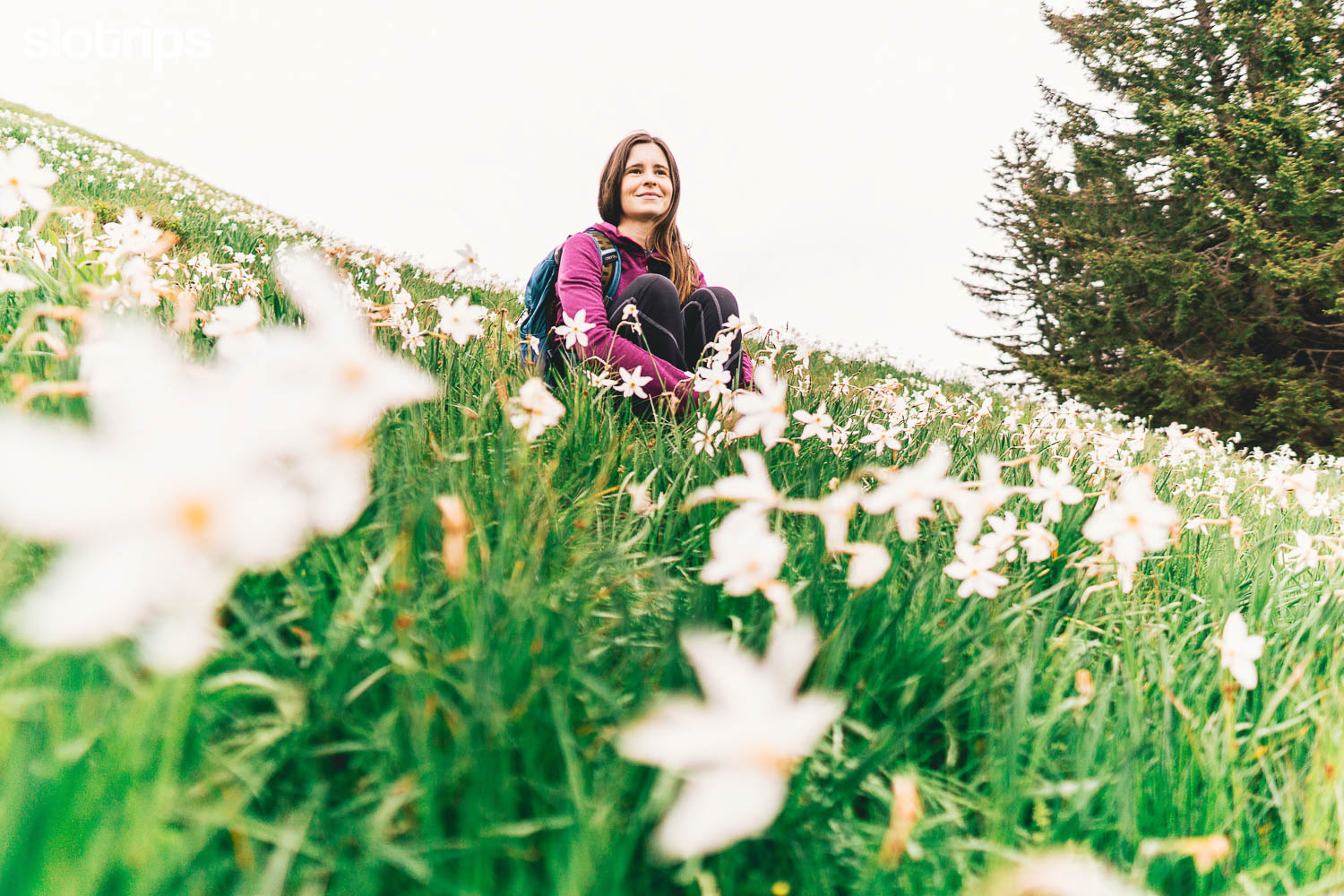
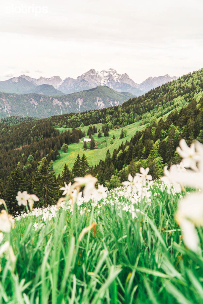
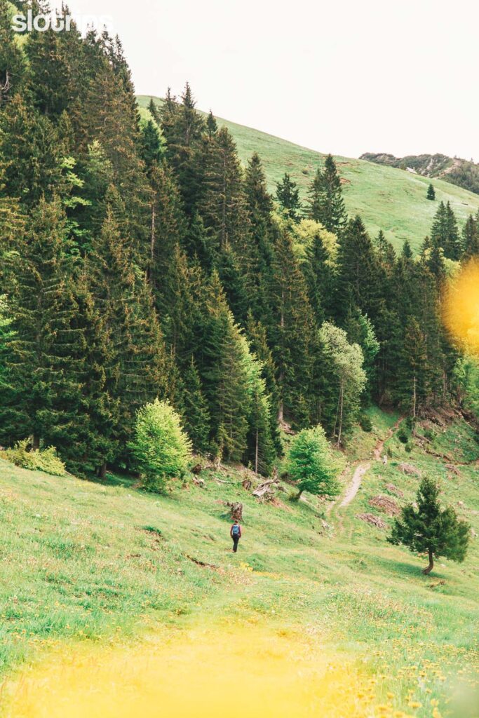
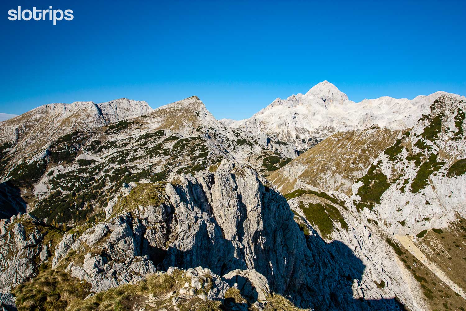
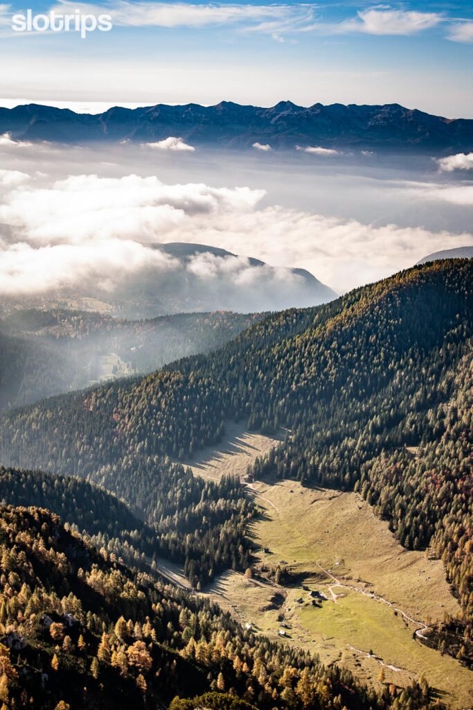
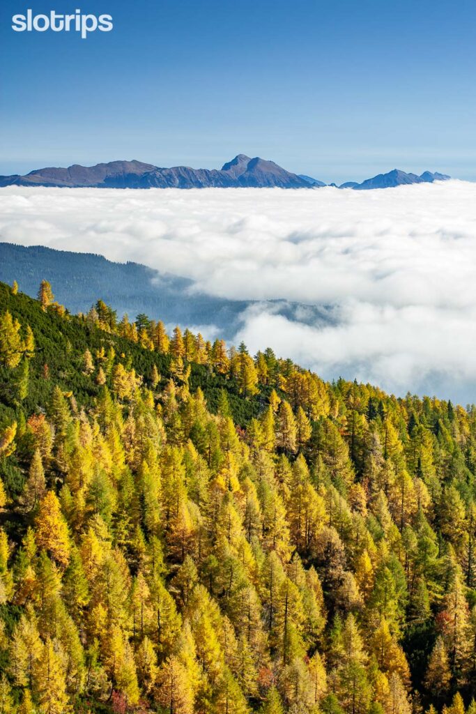
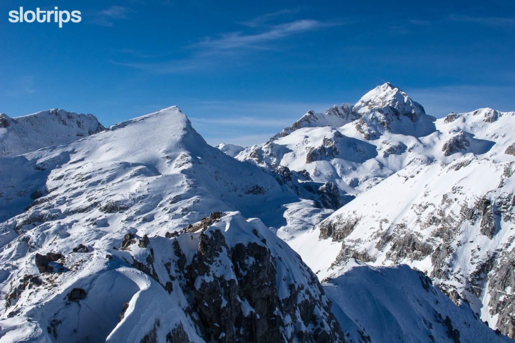
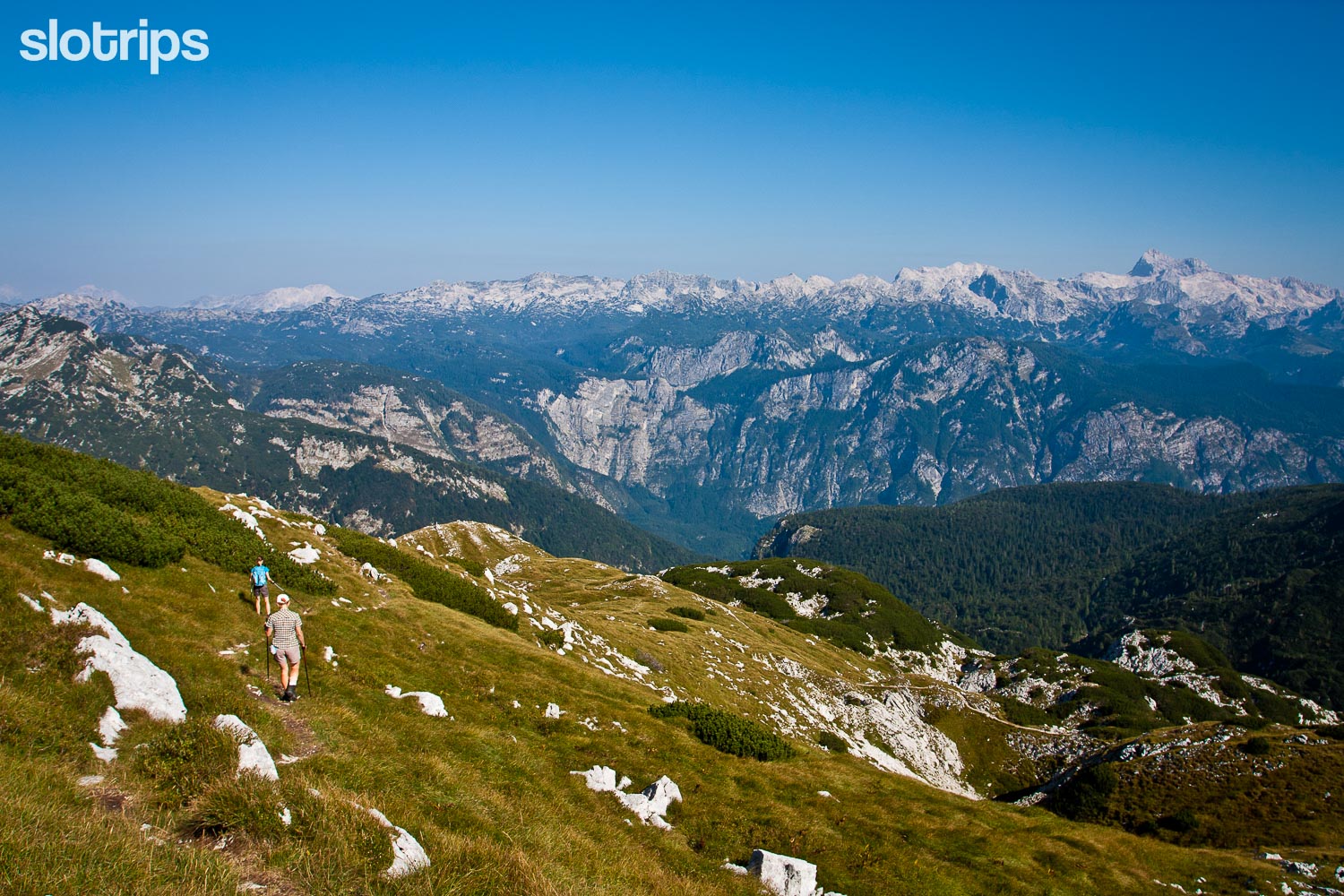
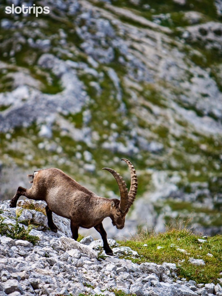
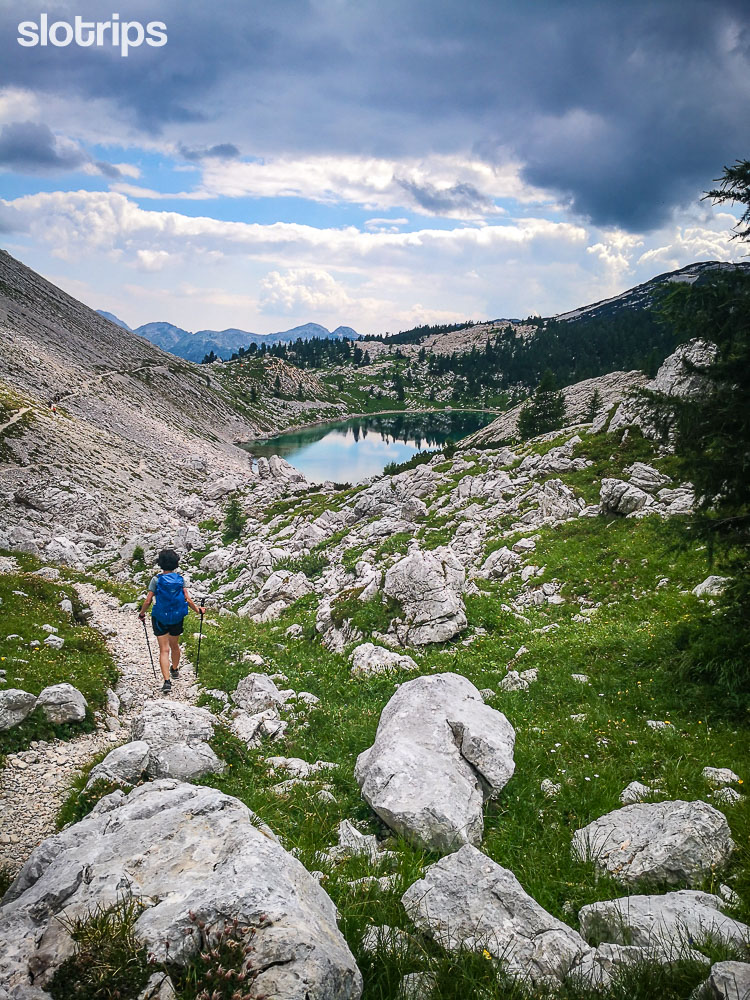
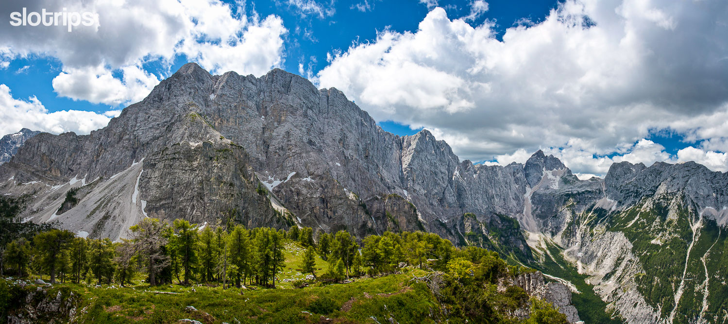
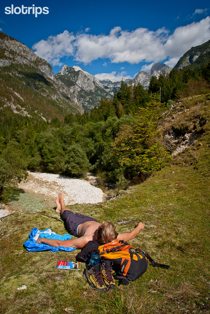
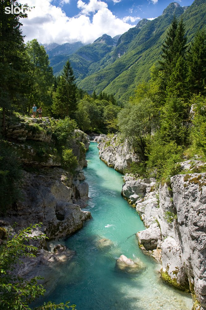
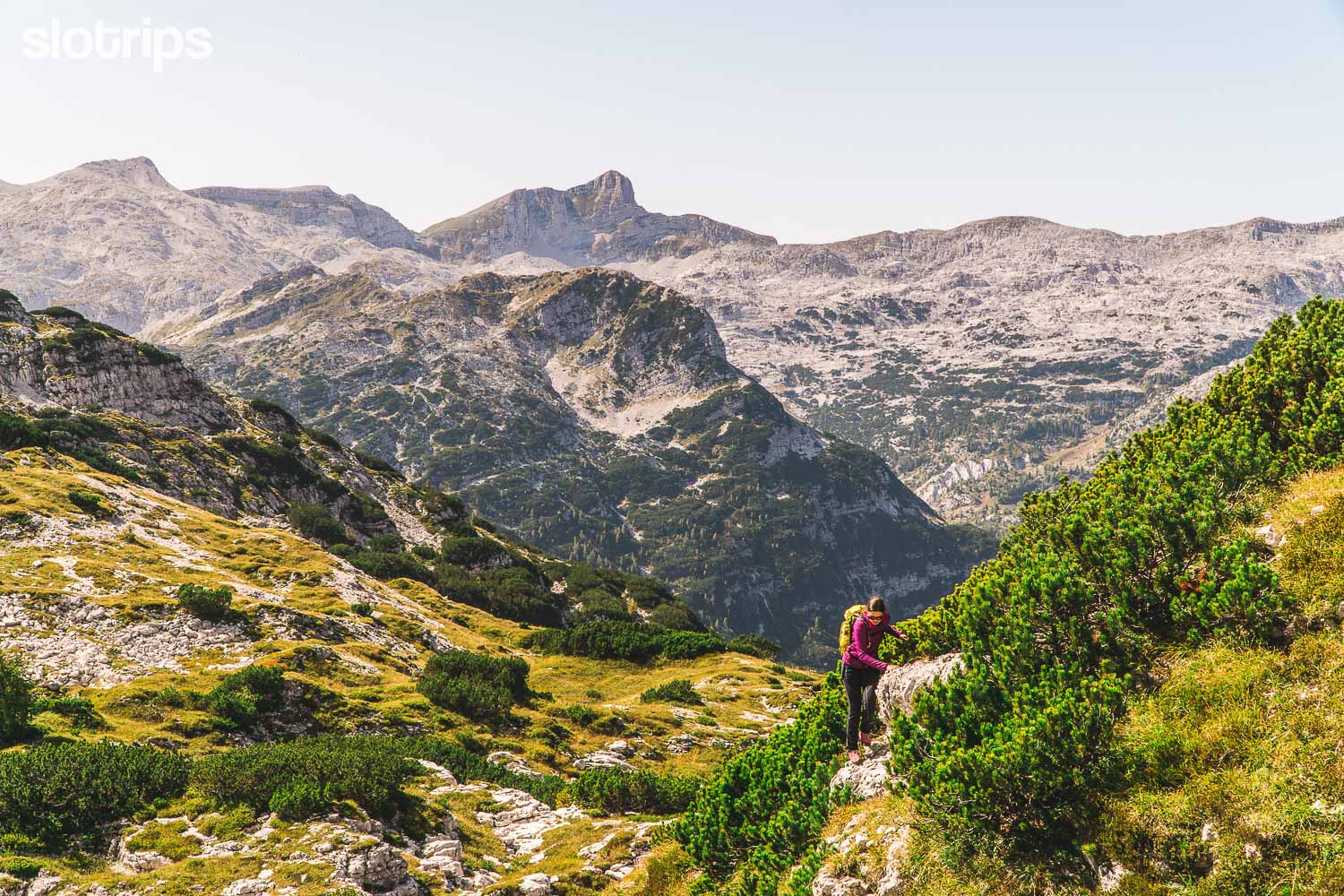
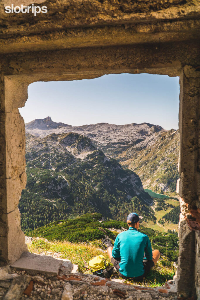
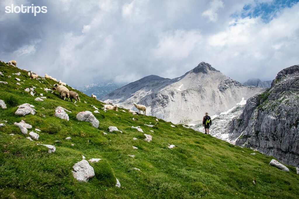
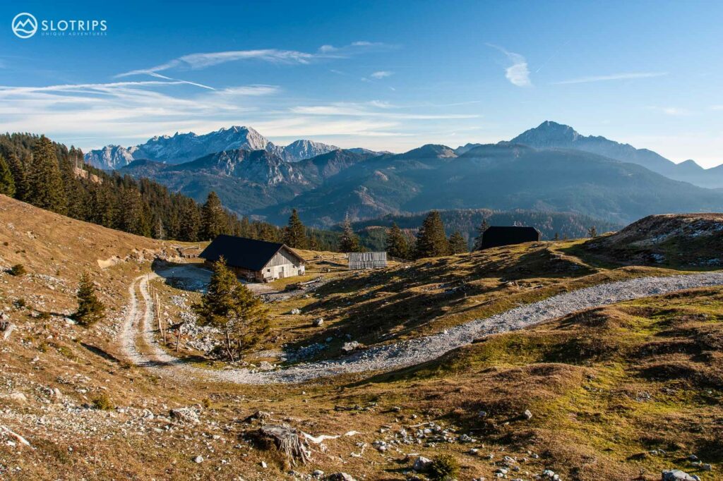
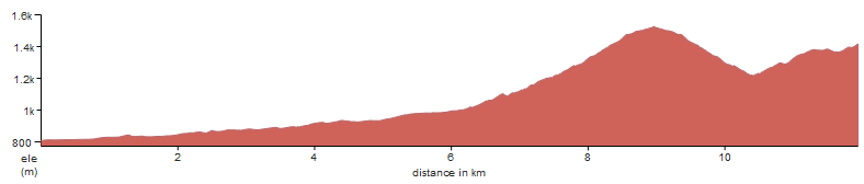
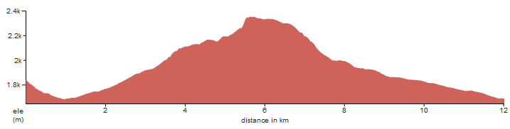
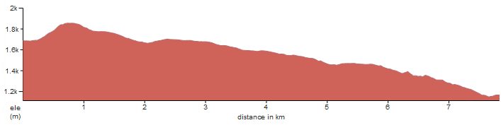
Our Hiking Difficulty page provides a comprehensive guide to understanding the various levels of hiking challenges in Slovenia. It categorizes trails into different difficulty levels, offering detailed descriptions to help hikers choose routes that match their experience and fitness levels. … Read More
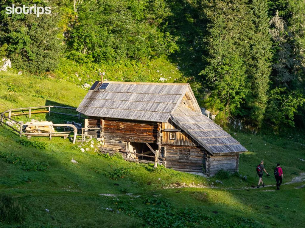
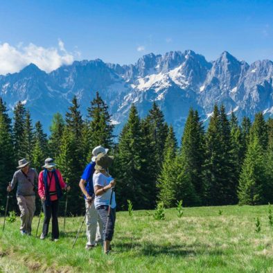
Before we dig in, let’s see if self-guided is your thing… SELF-GUIDED TRAVEL We organize & You walk, hike, bike or drive independently “I want to travel on my own, with my partner, with my family or friends. I want … Read More
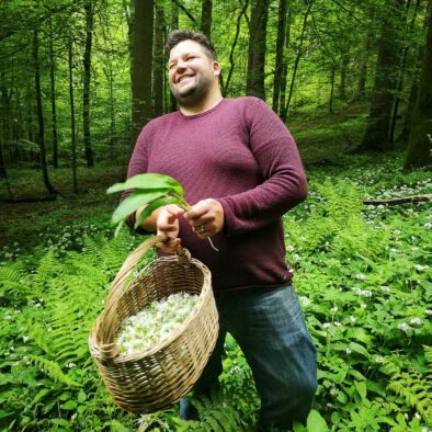
What exactly is Slovenian food? It’s no easy task to define the gastronomy of a young country that has always been torn between different countries that ruled her. Different food influences melted together in the confluence of the Austro-Hungarian Empire, … Read More
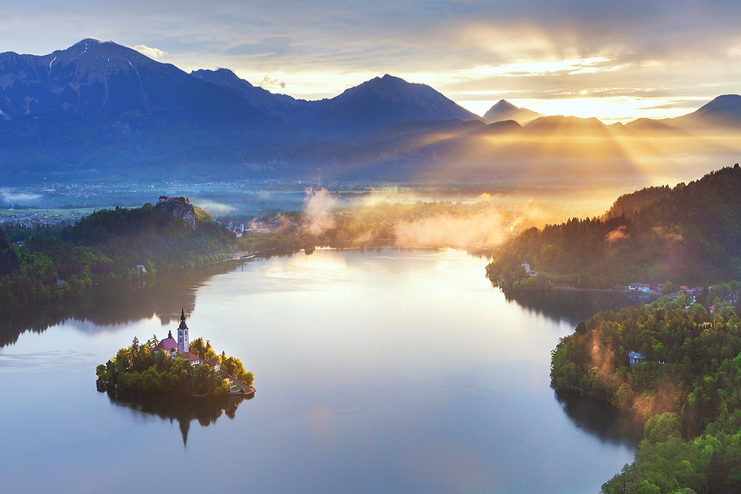
This list is incredibly helpful and your photos are lovely! We are going next week and can’t wait to tackle any of these that aren’t too snowy in early May.